Published on
Apr 1, 2025

ISRO's satellite images show Myanmar earthquake catastrophe | See pics
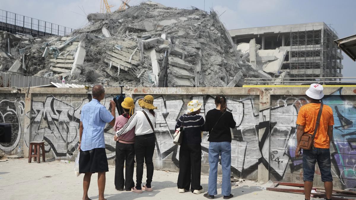
The Indian Space Research Organisation (ISRO) has released satellite images that captured the devastation caused by the powerful 7.7-magnitude earthquake that struck Myanmar last week. The most horrific destruction was seen around the Ava Bridge. (ISRO) As …
Source:
Hindustan Times
-
Uncategorized